The Bilateral Cooperation Fund
Bilateral Cooperation Fund
The Bilateral Cooperation Fund was established to contribute to the general objective of the EEA Funds, which is to strengthen cooperation between the Donor States and the Beneficiary States. The Bilateral Cooperation Fund is designed to improve the exchange of experiences, knowledge, technologies and best practices between beneficiaries and organizations from Donor States.
As part of the Bilateral Cooperation Fund, the Head Office of Geodesy and Cartography has implemented the project entitled: "Exchange of experience in the field of spatial data management between Poland and Norway." The Project Partner is the Norwegian Mapping Authority – KARTVERKET(http://kartverket.no/).
In accordance with the objectives, the Project carried out two study visits: one in Poland and one in Norway. Study visits were a platform to exchange Polish and Norwegian experiences for creating, sharing and the use of thematic spatial databases using modern IT technology solutions, in particular concerning the environment. Study visits were used as an appropriate tool to strengthen the cooperation between Polish and Norwegian experts in the field of technical capacity and the use of online services provided by public administration.
The project contributed to achieve one of the objectives of the Project "Data model and database management system with spatial information on the natural environment in the aspect of thematic mapping - enviDMS", i.e. improving the exchange of information on the environment in terms of impact, status and trends between Beneficiary States and other Member States of the EU.
Study visit in Poland
On 24-25th October 2013, representatives of the enviDMS Project Partner - KARTVERKET (Norwegian Mapping Authority) held a study visit in Warsaw. The purpose of the visit was to exchange experiences in conducting and sharing spatial databases in Poland.
During the first day of the meeting at the headquaters of the Main Center for Geodesic and Cartographic Documentation, Warsaw, KARTVERKET representatives familiarised themselves with the organization structure and activities of the National Geodetic and Cartographic Service and the Main Center for Geodesic and Cartographic Documentation (CODGIK).
The Main Center for Geodesic and Cartographic Documentation employees presented the GEOPORTAL.GOV.PL application and the ASG-EUPOS system. KARTVERKET representatives presented opportunities for strengthening cooperation between Polish and Norwegian experts in the field of using e-services provided by the public administration through the SDI and the scope of standardization of spatial data collected by the Norwegian public administration.
During the second day of the meeting at the headquarters of the Head Office of Geodesy and Cartography, employees of the Department of Geodesy, Cartography and Geographical Information Systems, presented spatial data collected in two Projects: ISOK and GBDOT – usage of laser aviation’s scanning products and the topographic objects database at the scale of 1:10 000.
At the headquarters of the Main Center for Geodesic and Cartographic Documentation (CODGiK), Warsaw, from left: Anna Bober (CODGiK), Morten Borrebæk, Olaf Østensen.
At the headquarters of the Main Center for Geodesic and Cartographic Documentation (CODGiK), Warsaw, from left: Artur Lichański (CODGiK), Olaf Østensen, Morten Borrebæk.
Study visit in Norway
On 23-24th June 2014 representatives of the team of the enviDMS Project held a study visit at the Project Partner’s headquarters - KARTVERKET (Norwegian Mapping Authority). The purpose of the visit was to exchange experiences in conducting and sharing spatial databases.
During the first day of the meeting at the headquarters at Kartverket, Hønefoss, Norway, the Polish Team familiarized themselves with the main tasks carried out by the Norwegian geodetic and cartographic service. Øystein Dokken presented the main types of spatial data sets, data update rules and applications used for the generalisation procedure. Additionally, he outlined the principles for data exchange under the Geovekst agreement, which associates both public institutions, private companies and civil society organizations.
During the second day of the visit, representatives of the Head Office of Geodesy and Cartography were invited to the headquarters of the Norges vassdrags-og energidirektorat (Norwegian Water Resources and Energy Directorate). The Head of the Unit of Geoinformation - Bjørn Lytskjold and GIS Senior Engineer Astrid Voksø described in details databases connected with hydrography and water engineering.
Moreover, they presented the practical applications of using data collected in databases, i.e. to analyze the best location of hydropower plants, modeling flood-risk zones or delimitation of protected areas for river basins.
At the headquarters of KARTVERKET, Honefoss, from left: Iwona Leszczyńska, Karolina Szyszkowska, Olaf Østensen, Jerzy Zieliński.
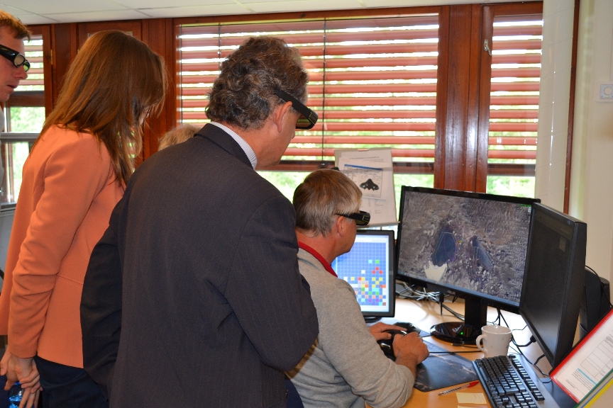
At the headquarters of KARTVERKET, Honefoss, Laboratory of Cartography – presentation of database update procedure for topographic data at the scale of 1:50000
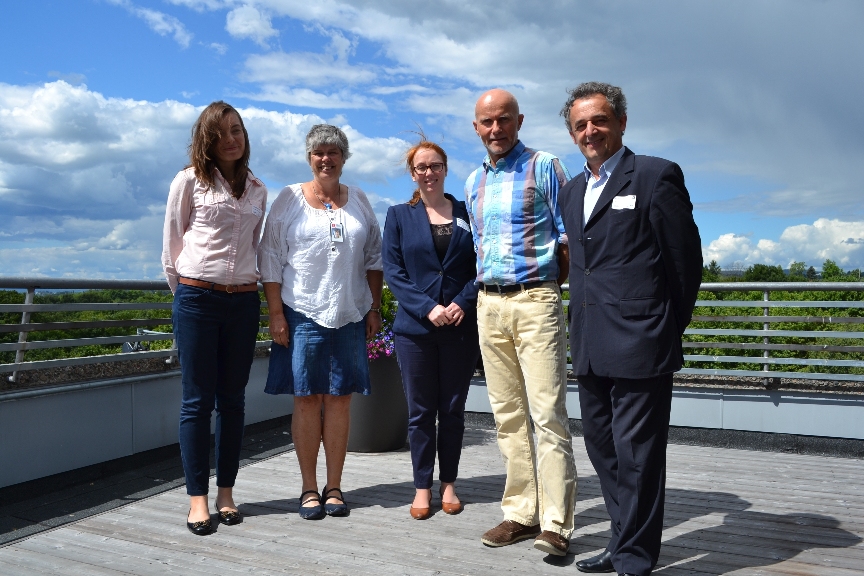
At the headquarters of Norges vassdrags-og energidirektorat, Oslo, from left: Iwona Leszczyńska, Astrid Voksø, Karolina Szyszkowska, Bjørn Lytskjold, Jerzy Zieliński.
Hydrology Monitoring Center, Norges vassdrags-og energidirektorat, Oslo, Norway.


