Training
![]()
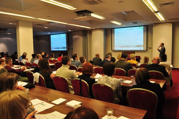
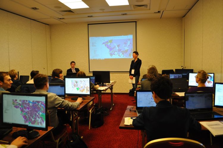
On 10-11th April 2017 training in exploitation and practical use of thematic cartographic elaborations such as digital hydrographic maps developed during enviDMS Project took place. The training was conducted in the form of lectures and practical activities with 150 participants.
The target of training was to spread among Public Administration, environment protection institutions, National Geodetic and Cartographic Service, scientific-research institutions and companies, and identification and analysis of ,,Best practices” in exploitation hydrographic data by beneficiaries.